Aerial photography

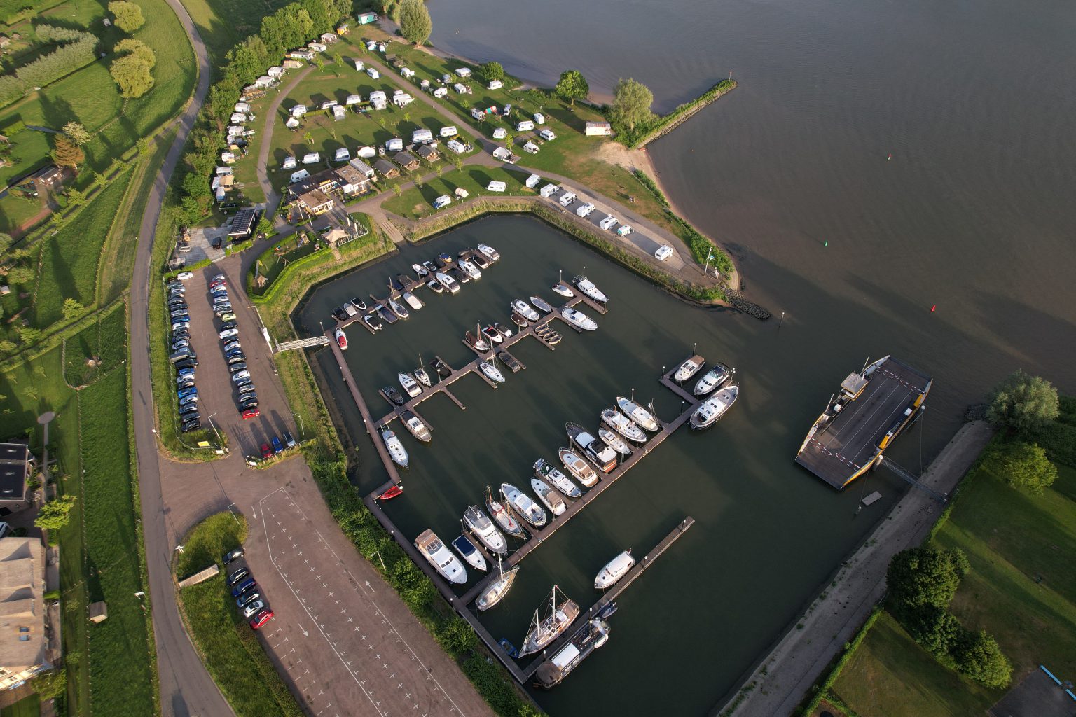
When people think of aerial photography, they often picture photos taken from great heights. For example, a photo of a campground taken from 100 meters up, offering a stunning view of the grounds, the location, and the accommodations. While this is certainly possible, aerial photography is also about the angle from which the photo is taken. A drone doesn’t always have to be high up. Just imagine: photographing a building from a bird’s-eye view at 15 meters, taking a shot directly above a reclining model on a large, deserted sandy plain from 20 meters, or capturing a home for sale with a large backyard from 30 meters up. A photo from the air tells a whole different story!

I use a DJI Air 2S drone to take aerial photos. This drone falls into the C1 category, weighs 595 grams, and is classified as risk category A1. The main advantage of this drone over mini drones weighing less than 250 grams is its stability. Under normal conditions, motion blur caused by wind does not occur; this drone takes razor-sharp photos. As a drone pilot, I hold A1-A3 and A2 certifications to fly this drone.

A Drone Operation

Flying a drone in the Netherlands isn’t something you can just do on a whim. As a pilot, I obviously have to take into account weather conditions, flying over people and buildings, the maximum altitude of 120 meters, and, above all, laws and regulations. But there are also areas in the Netherlands that fall within the No Fly Zone. Drones are not allowed to fly in these areas. That’s why I always check a location first before taking an aerial photo.

Scan the code